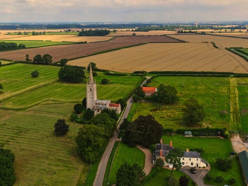
They say a picture paints a thousands words and aerial photography offers huge potential to capture the most amazing images. Westholme cover a wide variety of needs, from views of single properties to largescale landscape views, from newly built structures to the archaeological remains of ancient settlements.
Accurate, high resolution, GIS-ready, georeferenced orthomosaic images and digital surface models are perfect for mapping your site or project. From tracking construction progress to mapping a golf course, aerial imaging can offer a flexible, fast solution.
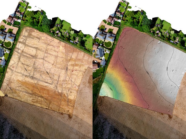
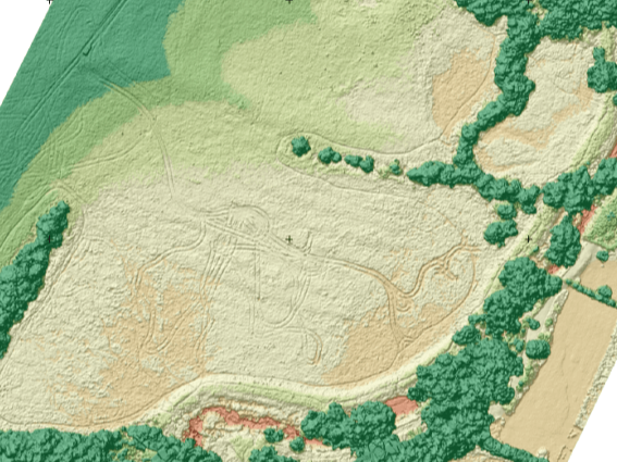
Using overlapping photographs taken from a drone, Westholme are able to create three dimensional models of your site or project. Ground control points are used to accurately locate and scale the model to produce accurate, data-rich models, perfect for applications such as topographic surveys and volume calculations.
Foxhall Barn
Asgarby
Sleaford
Lincolnshire
NG34 9QE
enquiries@westholmegroup.co.uk
Phone: 01529 306094
Mobirise free maker - Learn more